Layered sensing, intelligent surveillance and resilient communications. Connected to help teams protect forests, monitor remote boundaries and coordinate an informed response.
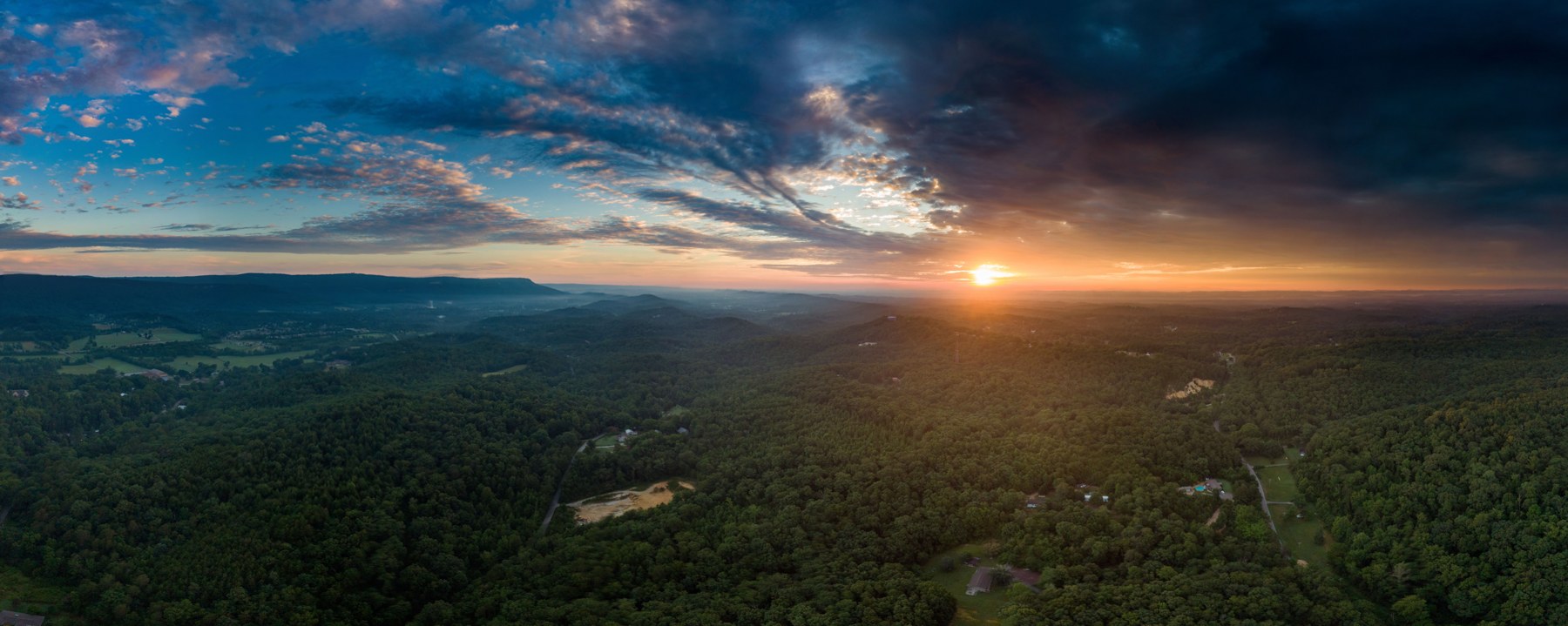
Remote environments demand more than a line of cameras. Forest cover, uneven ground, long distances and limited infrastructure can leave gaps between detection and response.
HajaraIhsan’s approach combines complementary sensing technologies with reliable power, communications and command tools. Each deployment is designed around the area to be monitored, the activity that matters and the people responsible for responding.
Forest reservesRemote boundariesInfrastructure corridorsEarly fire awareness
A LAYERED APPROACH
From the ground to the command room.
Choose a layer to explore how field sensing, visual verification and communications work together.
DETECT
Listen for activity along priority routes.
Distributed acoustic sensing (DAS) can turn suitably installed fibre into a vibration-sensing route. Seismic sensors can complement it at selected locations. Alerts can indicate movement or digging activity for operator assessment; soil, installation and environmental noise influence performance.
Plan around the route, ground conditions and field trials. Footsteps, wildlife and weather need careful discrimination.
Field sensors→Secure communications→Command workspace→Coordinated response
THERMAL + OPTICAL OBSERVATION
See heat. Understand the scene.
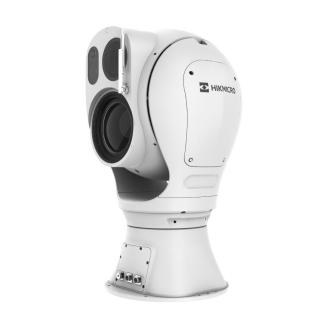
Bi-spectrum equipment combines thermal and visible-light imaging in one observation system. Selected models support perimeter alerts and fire or smoke detection, helping an operator decide where to look next.
We select equipment around the actual field of view and operating conditions, then validate coverage on site. Analytics support review; an automated alert is not a confirmed incident.
Hikvision thermal and optical equipment. Model and lens selection depend on project requirements.
FROM SIGNAL TO RESPONSE
A clear process. People in control.
01
Detect
A configured sensor or camera flags activity and records its time and available location.
02
Correlate
The command workspace brings relevant alerts, maps and connected video into context.
03
Verify
An operator checks the event, confirms what is visible and assesses the appropriate priority.
04
Coordinate
Authorised staff contact an available team and share the verified information and instructions.
05
Review
Record updates and outcomes, retain the agreed evidence and use findings to improve the service.
COMMAND CLOSER TO THE FIELD
A transportable hub. A connected team.
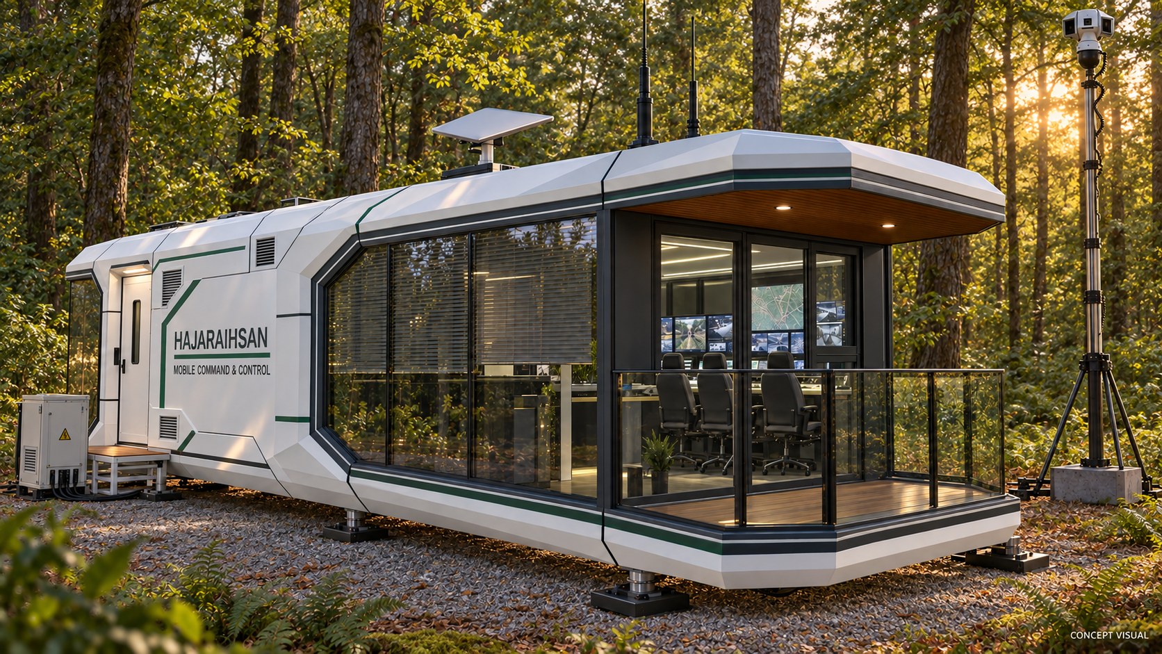
Our capsule command-centre concept brings operator workstations, a shared video display and communications equipment into a relocatable field workspace. It can be planned around forest operations, remote monitoring or temporary incident coordination.
HajaraIhsan concept visual — forest deployment. Proposed design, not a photograph of a commissioned installation.
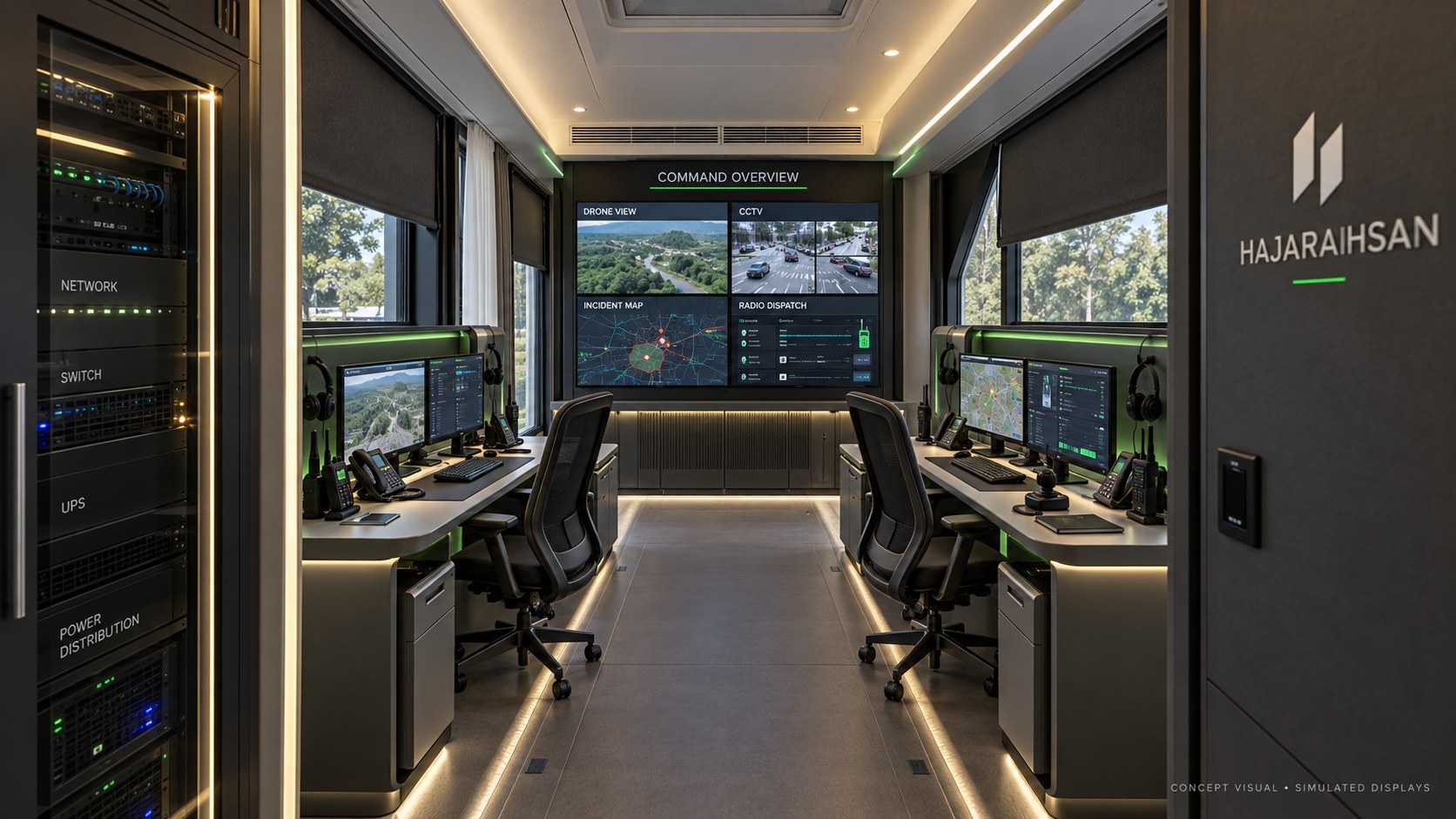
Interior concept with illustrative drone, CCTV and mapping displays.
One room for the operational picture.
Plan for CCTV and drone video, incident maps, radio dispatch and equipment monitoring, with network racks and backup power supporting the operator positions.
The final design must account for transport, foundations, cooling, electrical loads, connectivity and site access. Screen layouts and connected services are configured for the operating team.
BUILT FOR REMOTE LOCATIONS
Power and connectivity are part of the system.
A field sensor is useful only when its information reaches the people who need it. Energy demand, network capacity and maintenance access belong in the design from the start.
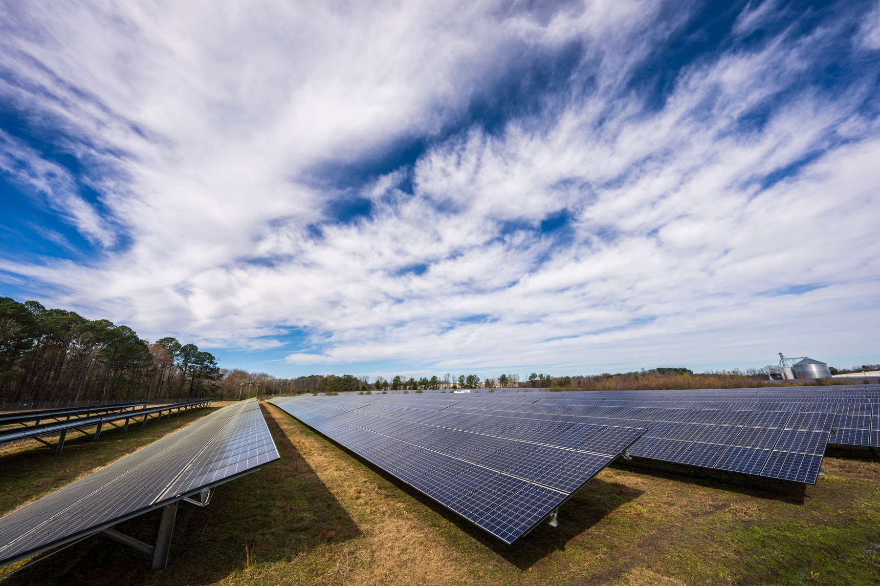
Illustrative solar installation; array size and battery capacity are engineered for each site.
Energy matched to the load
Solar generation, suitable battery storage and backup supplies can support remote equipment. Sizing considers continuous demand, local sunlight, temperature and the required reserve time.
Links matched to the landscape
Fibre, point-to-point wireless, cellular or satellite links can be combined where appropriate. Route surveys and capacity planning establish how video, alerts and voice will reach the command centre.
Visibility into system health
Power levels, link status and device availability help teams identify maintenance needs before a gap becomes an operational problem.
ENGINEERING THE DEPLOYMENT
Start with evidence. Validate in the field.
Survey & design
Map terrain, sightlines, vegetation, priority routes and operating responsibilities. Define detection needs and the interfaces to be integrated.
Pilot & commission
Test representative locations and weather conditions. Tune alerts, verify communications and power, and exercise the complete operator workflow.
Train & sustain
Prepare operators and maintenance teams, agree escalation procedures and review availability, alert quality and response coordination over time.
Coverage and endurance are established through equipment selection and site validation. Data access, retention, flight operations and response procedures are agreed with the responsible authorities as part of deployment planning.
LET’S PLAN YOUR COVERAGE
Tell us about the terrain. We’ll help connect the picture.
Discuss forest monitoring, border observation, remote communications and command-centre requirements with HajaraIhsan.